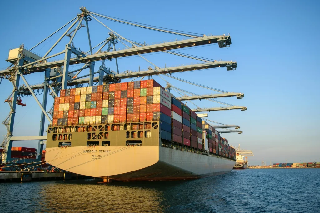
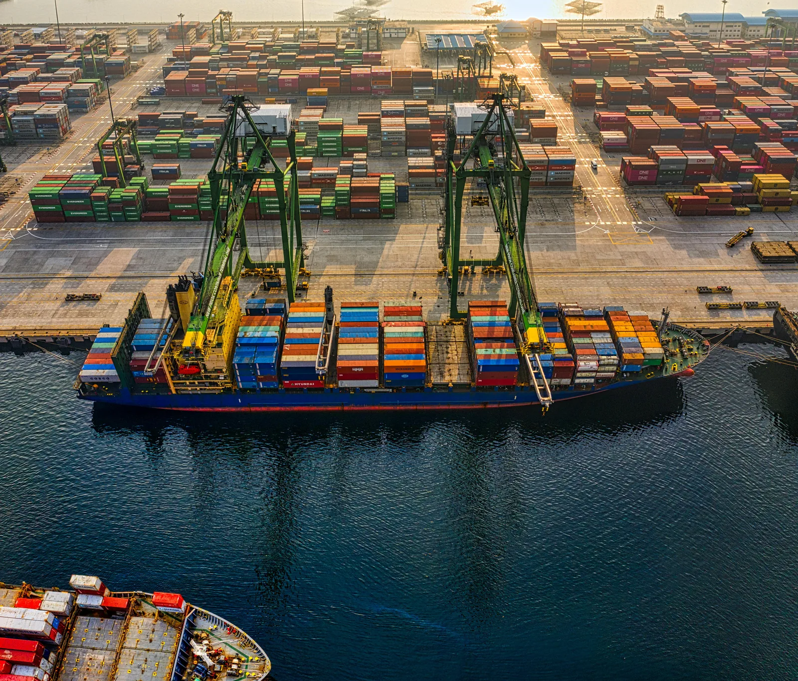
Maritime security intelligence is the systematic collection and analysis of threat information relevant to vessels, crews, cargoes, ports, and maritime infrastructure — used by shipping companies, navies, port authorities, and governments to detect, assess, and respond to threats ranging from piracy and armed robbery to state-sponsored disruption of shipping lanes. The maritime threat environment in 2025 is significantly more complex than at any point in the previous decade: the International Maritime Bureau (IMB) recorded 137 piracy and armed robbery incidents against ships globally in 2025, up from 116 in 2024, with a 50% increase in the first six months of 2025 alone. Simultaneously, the Red Sea crisis driven by Houthi attacks on commercial shipping has disrupted 10% of global seaborne trade that traditionally transits the Suez Canal — canal traffic fell from 2,068 ships in November 2023 to approximately 877 in October 2024, with war risk insurance premiums adding hundreds of thousands of dollars per voyage for vessels still transiting the region. Maritime security intelligence platforms have become critical operational tools for shipping companies navigating this environment: AIS (Automatic Identification System) vessel tracking combined with threat intelligence gives maritime operators the real-time situational awareness to route ships away from active threat zones, respond to vessels going dark (AIS spoofing or shutdown as a precursor to illegal activity), and comply with government advisories that designate high-risk maritime areas. The combination of open-source intelligence (OSINT), government threat reporting from MARAD, ONI, and BIMCO, and commercial maritime intelligence from platforms like Dryad Global and Kpler provides the intelligence picture that maritime security programs depend on to make routing, insurance, and security staffing decisions.
- IMB 2025: 137 piracy/armed robbery incidents globally — 50% increase in first half of 2025 versus 2024, Singapore Straits highest with 80 incidents
- Red Sea crisis: 10% of global seaborne trade disrupted through Suez Canal; canal transits fell from 2,068 (Nov 2023) to ~877 (Oct 2024) due to Houthi attacks
- Kpler AIS: 350,000+ vessels tracked daily through 13,000+ AIS receivers — real-time vessel intelligence with sub-1-minute latency
- Key intelligence sources: IMB Piracy Reporting Centre (incident reporting), Dryad Global (real-time threat intelligence), MARAD Maritime Security Communications with Industry (government advisories)
- Threat evolution: gun use in piracy incidents rose from 26 (2024) to 42 (2025) — plus Houthi drone/missile attacks represent state-level maritime threat category requiring strategic intelligence
Maritime Security Intelligence: Threat Categories, Piracy Statistics, and the Red Sea Crisis

Current Maritime Threat Landscape: IMB Piracy Data, Regional Hotspots, and Houthi Disruption
Maritime security intelligence in 2025 must address two distinct threat categories that require different analytical frameworks: opportunistic piracy and armed robbery (the traditional maritime threat, tracked by the IMB since 1992), and state-sponsored or state-tolerated attacks on commercial shipping (the Houthi campaign in the Red Sea, which represents a qualitatively different threat requiring geopolitical intelligence rather than purely tactical maritime awareness). The IMB’s 2025 data shows 137 incidents globally, with Singapore Straits as the highest-volume area at 80 incidents (up from 43 in 2024) — driven by small boat boardings of slow-moving vessels in the congested strait. Southeast Asia as a region recorded 135 boardings in 2025 versus 100 in 2024, a 35% increase. Twenty-five crew members were kidnapped in 2025, up from 12 in 2024, and gun use in incidents rose from 26 to 42. The Gulf of Guinea — historically the highest-violence piracy zone — showed relative stability at 21 incidents in 2025, partly attributed to improved regional naval cooperation and industry adherence to Best Management Practices (BMP) in West Africa. The Red Sea crisis is a different category of maritime security challenge: Houthi forces launched anti-ship ballistic missiles, cruise missiles, and drone attacks against commercial vessels transiting the southern Red Sea and Bab el-Mandeb Strait throughout 2024-2025, sinking the Greek-operated bulk carriers Magic Seas and Eternity C on July 6-8, 2025 — the first total losses of commercial vessels to hostile attack in the region in decades. Intelligence for the Red Sea threat requires tracking geopolitical developments in the Yemen conflict, monitoring Houthi military capability and targeting patterns, and assessing the effectiveness of multinational naval forces in the region — analysis that goes beyond the incident-level intelligence that traditional maritime security programs provide. The IMB Piracy Reporting Centre’s 2025 annual report provides the authoritative statistical baseline for maritime security intelligence programs monitoring piracy and armed robbery trends globally.
Maritime Security Intelligence Platforms: AIS Tracking, Dryad Global, and Vessel Monitoring Systems
Tools and Platforms for Maritime Security Intelligence: AIS, Commercial Intelligence Feeds, and Government Sources
Maritime security intelligence programs combine three data layers that together provide the situational awareness needed for routing decisions, security staffing, and incident response. AIS (Automatic Identification System) vessel tracking is the foundation: AIS transponders broadcast vessel identity, position, speed, and heading, and platforms like Kpler and MarineTraffic aggregate this data from 13,000+ terrestrial and satellite AIS receivers to track more than 350,000 vessels daily with sub-one-minute latency. Dark vessel detection — identifying ships that have switched off their AIS transponders, often to conceal sanctions violations, illegal fishing, or attack preparation — requires cross-referencing AIS gaps with satellite radar and optical imagery, a capability that platforms like Starboard Maritime Intelligence and Kpler’s sanctions screening module provide for compliance and security programs. Dryad Global provides the threat intelligence layer on top of vessel tracking: real-time incident reporting, area risk assessments for high-threat zones (Red Sea, Gulf of Guinea, Singapore Straits, Indian Ocean), and vessel-specific threat notifications that integrate directly into ship security officer decision-making. The CLS Maritime Awareness System combines satellite AIS, terrestrial AIS, LRIT (Long Range Identification and Tracking), vessel monitoring systems, radio frequency detection, and satellite radar/optical imagery into a multi-source picture that governments and coast guards use for maritime domain awareness over large ocean areas. Government intelligence sources complete the picture: MARAD (US Maritime Administration) Maritime Security Communications with Industry (MSCI) publishes real-time advisories on threats to US-flagged vessels; the Office of Naval Intelligence (ONI) publishes weekly Worldwide Threat to Shipping (WTS) reports covering all reported incidents globally; and BIMCO (the Baltic and International Maritime Council) distributes security advisories to member shipping companies. The intelligence integration workflow for enterprise maritime security programs: subscribe to MARAD/BIMCO advisories for strategic threat picture → configure Dryad Global or equivalent for real-time area risk scoring → monitor AIS data for fleet vessels in high-risk areas → cross-reference vessel movement against current threat intelligence before authorizing transits through elevated-risk zones. Dryad Global’s maritime intelligence platform provides both the real-time incident intelligence and the area risk assessments that shipping companies use to determine whether routes require additional security measures, armed guards, or rerouting entirely.
Frequently Asked Questions
What is maritime security intelligence?
Maritime security intelligence is the collection and analysis of threat information relevant to ships, crews, ports, and maritime trade routes — used by shipping companies, navies, coast guards, and port authorities to detect and respond to threats including piracy, armed robbery, state-sponsored attacks on shipping, illegal fishing, sanctions evasion (dark vessels), and terrorism targeting maritime infrastructure. Key intelligence sources: IMB Piracy Reporting Centre (incident database), MARAD MSCI advisories (US government), ONI Worldwide Threat to Shipping reports (weekly), Dryad Global (commercial real-time intelligence), and Kpler/MarineTraffic (AIS vessel tracking). The 2025 threat environment requires intelligence covering both opportunistic piracy (137 IMB incidents in 2025) and state-level threats (Red Sea Houthi campaign, which has disrupted 10% of global seaborne trade).
What is AIS and how does it support maritime security intelligence?
AIS (Automatic Identification System) is a radio-based system that requires commercial vessels over 300 gross tons and all passenger ships to broadcast their identity (MMSI number, name, call sign), position (GPS coordinates), speed, course, and destination. AIS data is collected by terrestrial receivers (coastal range ~40-60 nautical miles) and satellite receivers (global coverage), aggregated by platforms like Kpler (tracking 350,000+ vessels daily through 13,000+ receivers) and MarineTraffic. For maritime security intelligence, AIS provides: vessel location for fleet monitoring; historical track data for route analysis; dark vessel detection (AIS gaps indicating transponder shutdown, often associated with sanctions violations or suspicious activity); and port call intelligence (which vessels are calling at which ports, for sanctions compliance). AIS is mandated by IMO but can be turned off — dark vessel detection requires satellite radar/optical imagery cross-referencing to identify non-broadcasting vessels.
How has the Red Sea crisis affected maritime security intelligence?
The Red Sea crisis created by Houthi attacks on commercial shipping (starting October 2023, continuing through 2025) has fundamentally expanded the scope of maritime security intelligence from tactical piracy awareness to geopolitical threat assessment. Intelligence requirements: tracking Houthi military capability (anti-ship ballistic missiles, cruise missiles, drone attacks); monitoring ceasefire developments in the Yemen conflict; assessing multinational naval force operations (Operation Prosperity Guardian); evaluating whether specific vessels/flag states face elevated targeting risk (Houthi targeting has at various points focused on vessels with Israeli connections, US-flagged ships, or vessels destined for Israeli ports). Commercial shipping response: 10% of global seaborne trade diverted from Suez Canal, transit counts falling from 2,068 ships (November 2023) to ~877 (October 2024), with war risk insurance premiums adding hundreds of thousands of dollars per voyage. Maritime security intelligence platforms now require geopolitical intelligence integration alongside traditional piracy tracking to support Red Sea routing decisions.
What are the main maritime security intelligence sources?
Primary maritime security intelligence sources: IMB Piracy Reporting Centre (icc-ccs.org) — the authoritative incident database for piracy and armed robbery, updated in near-real-time and published in annual reports; MARAD MSCI (maritime.dot.gov) — US government maritime security advisories for US-flagged vessels and US interests; ONI Worldwide Threat to Shipping — weekly unclassified report covering all reported incidents globally from government intelligence; Dryad Global — commercial real-time intelligence with area risk assessments and incident notifications; Kpler/MarineTraffic — AIS vessel tracking with dark vessel detection and sanctions screening; BIMCO (bimco.org) — shipping industry security advisories; NATO Shipping Centre — military maritime intelligence for NATO member shipping; IMO (imo.org) — long-range identification tracking (LRIT) standards and maritime security frameworks (ISPS Code).